Android · free · by Plastilina Labs
Wayter — drinking fountain app by Plastilina Labs
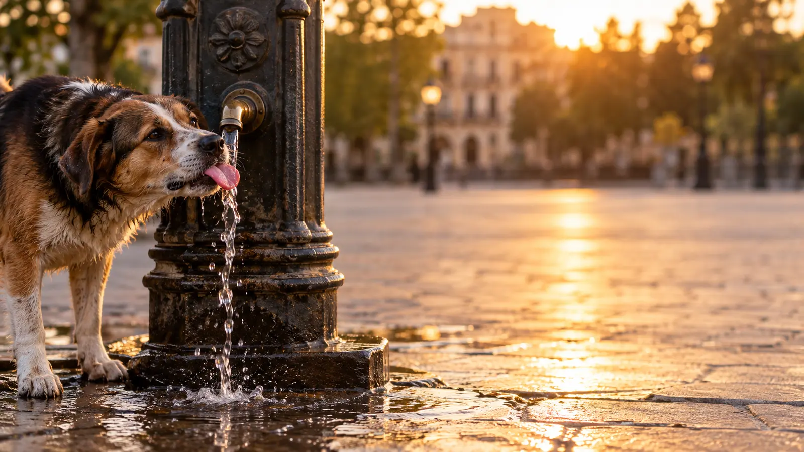
Plastilina Labs developed Wayter to put public drinking fountains on a map: the nearest ones first, whether the water is drinkable, whether dogs can drink and whether a bottle fits under the tap.

What the app does
The nearest fountains, in order
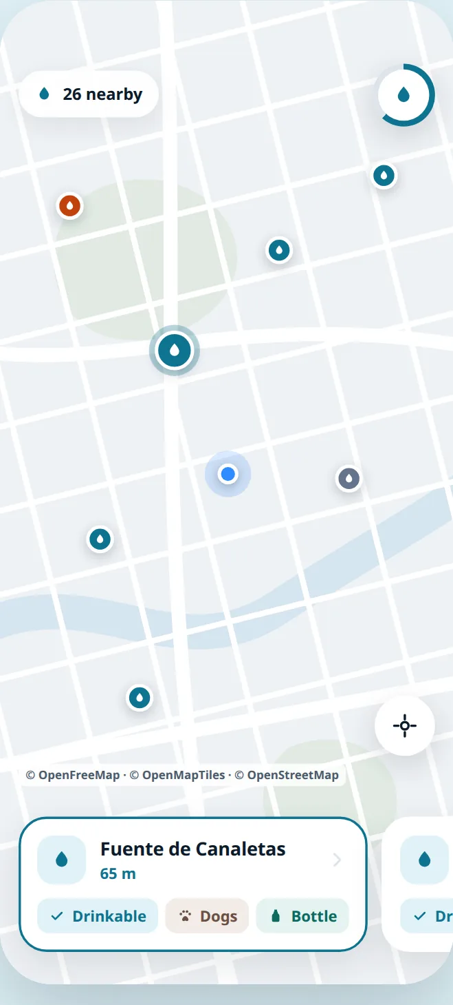
The map opens on where you are and sorts every fountain around you by distance, with the walk time to each one.
Drinkable, dogs, bottle
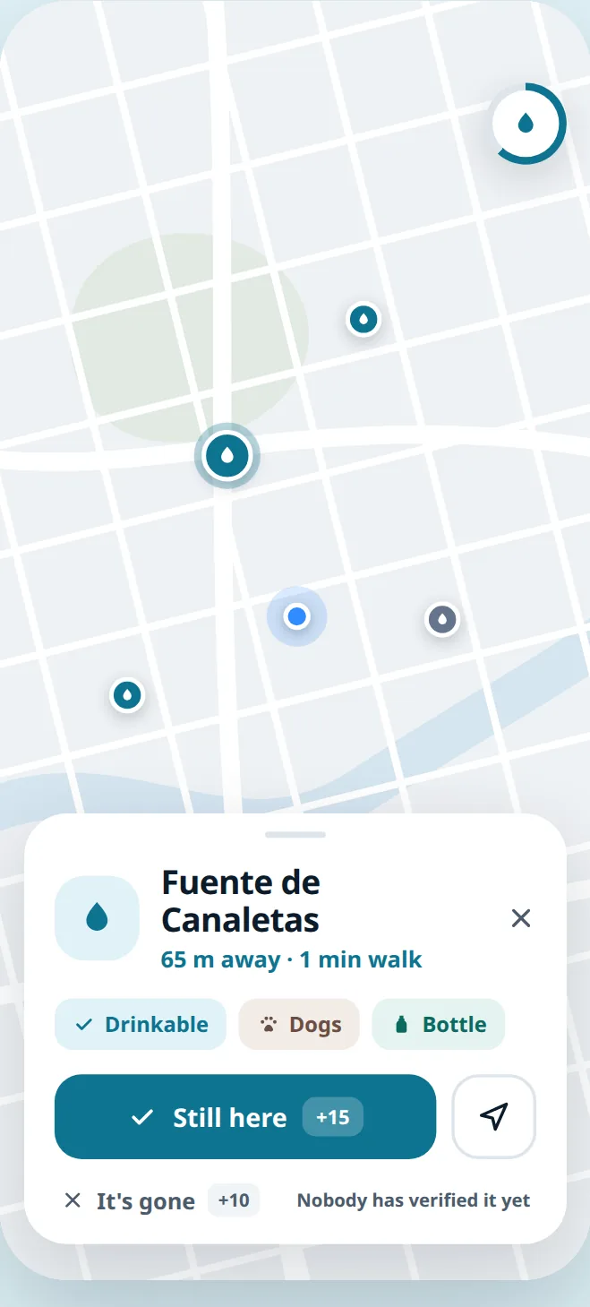
Each fountain says whether the water is drinkable, whether dogs can drink there and whether a bottle fits under the tap — the three things you actually need to know before walking over.
Kept true by the people using it
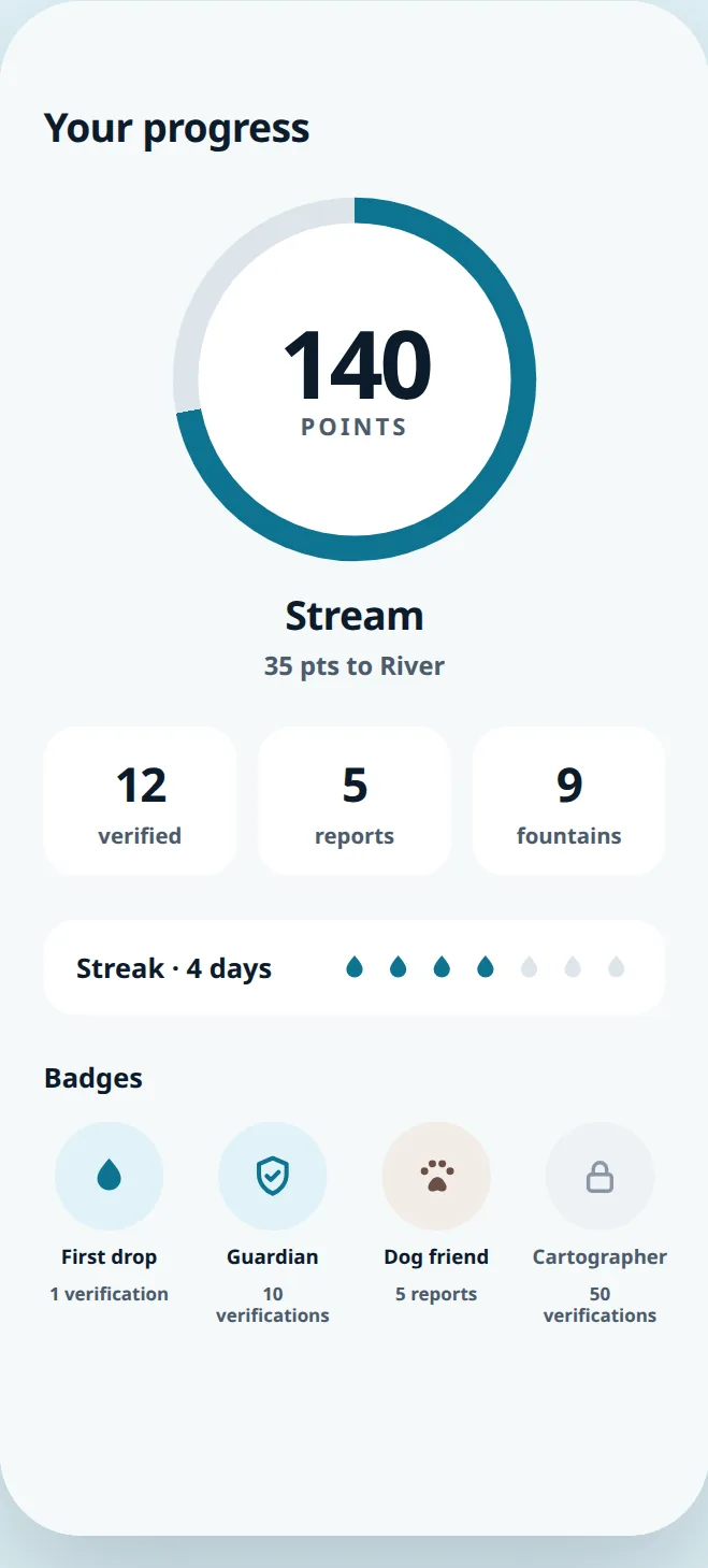
Fountains disappear and taps break. Anyone can confirm that a fountain is still there or report that it is gone, and earn points, levels and badges for it.
Works offline, once you have been there
Maps and fountain lists are cached on the device, so an area you have already opened still works without a connection.
On the phone
Your data
Wayter works fully without an account. If you sign in with Google, your fountain reports and points are mirrored to our server so they survive a new phone — and you can have all of it deleted at any time, from inside the app or from this site.
Fountain locations and attributes come from OpenStreetMap, used under the ODbL licence. Map tiles come from OpenFreeMap and OpenMapTiles.